Find all zip codes within a radius of any location. Use zip code radius maps for marketing, delivery zones, direct mail, and service area planning.
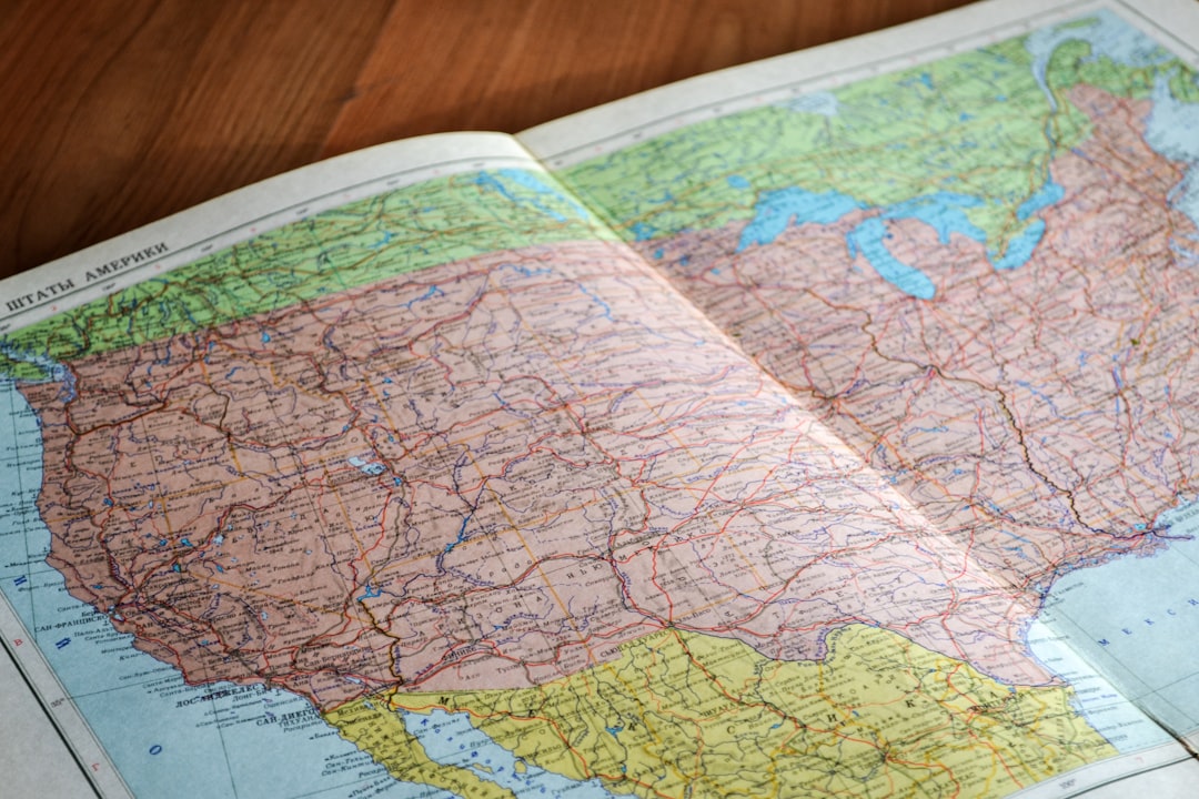
Need to find all zip codes within a radius of a specific location? Whether you're planning a direct mail campaign, defining delivery zones, or analyzing your market area, a zip code radius tool is essential for location-based business decisions.
This guide covers everything you need to know about zip code radius searches — how they work, their limitations, and why drive-time based approaches give you better results for most real-world applications.
A zip code radius search finds all ZIP codes whose geographic center falls within a specified distance from a starting point. For example, searching for zip codes within 25 miles of ZIP code 10001 (Manhattan) returns every ZIP code with a centroid inside that 25-mile circle.
Common uses include:
Most zip code radius tools follow this process:
Every ZIP code is represented by a single point — its centroid. But ZIP codes aren't circles; they're irregular shapes that can be quite large, especially in rural areas:
| ZIP Code Type | Typical Area | What This Means |
|---|---|---|
| Dense urban | 0.5 - 2 sq miles | Centroid accurately represents the area |
| Suburban | 5 - 20 sq miles | Some addresses may be miles from the centroid |
| Rural | 50 - 500+ sq miles | Centroid can be 10+ miles from the zip code boundary |
A rural ZIP code's centroid might be 15 miles from your location, placing it outside your 10-mile radius — but part of that ZIP code might be only 2 miles away. The reverse is also true: a ZIP code centroid might fall within your radius while large portions of it don't.
The traditional approach uses dedicated zip code lookup tools:
Instead of searching for zip codes near me within a circle, you can use RadiusMapper to find the area actually reachable within a specific drive time:
This approach is superior because it accounts for highways, traffic patterns, and geographic barriers that simple radius circles ignore.
A 15-mile radius circle around a coastal business includes ocean. Around a river city, it includes areas across bridges that might be 30+ minutes away. Around mountainous terrain, it includes areas only accessible via long detours.
Highway access means some areas 20 miles away are faster to reach than areas 10 miles away through congested neighborhoods. A simple radius excludes these accessible areas.
ZIP codes weren't designed for geographic analysis — they were designed for mail sorting. Their boundaries are arbitrary, their sizes vary enormously, and they change over time. Using ZIP code centroids as the basis for radius calculations compounds inaccuracy.
A customer 12 miles away along a highway might visit your store regularly. A customer 5 miles away across a river with no bridge will never visit. Distance-based zip code radius searches can't distinguish between these scenarios.
For most business applications, drive-time mapping provides more actionable results than zip code radius circles:
Instead of listing ZIP codes within 10 miles, use a delivery area map to see everywhere reachable within 25 minutes of driving. This ensures:
Rather than mailing every address in ZIP codes within a radius, target the area reachable within a reasonable drive time of your business. This means:
Contractors, home service businesses, and healthcare providers benefit from defining their service area map by drive time rather than distance. A plumber who defines their service area as "within 30 minutes" provides a clear, honest commitment to response time.
Sales managers can create more equitable territories using drive-time zones rather than zip code groupings. A territory defined by "everything within 45 minutes of the rep's home base" accounts for road networks and traffic, creating balanced workloads.
When you do need zip code radius data, here's what you can typically get:
People frequently search for zip codes within a radius for these specific use cases:
Pizza shops, catering companies, and meal delivery services need to know which ZIP codes they serve. While a zip code list is a starting point, a drive-time based delivery area map ensures food arrives hot.
Hospitals and clinics analyze which ZIP codes their patients come from and target outreach to underserved areas within their realistic service territory.
Campaign teams identify voter concentrations within target districts and plan canvassing routes based on drive-time accessibility.
Insurance companies group ZIP codes into rating territories, though they increasingly use more granular geographic data for pricing.
Agents analyze comparable home sales within a radius, though commute-time from key employment centers (using a driving radius map) is often more relevant to buyers.
After generating your zip code radius list, overlay it with a drive-time map from RadiusMapper. Remove zip codes that look close on paper but are actually hard to reach.
A rural ZIP code with 500 residents counts the same as an urban ZIP code with 50,000 in a simple radius search. Weight your analysis by population or household count.
Large rural ZIP codes may straddle your radius boundary. Decide whether to include or exclude partial overlaps based on where the population within that ZIP code actually lives.
ZIP code boundaries change. The USPS modifies, adds, and retires ZIP codes regularly. Ensure your data source is current.
For finer geographic granularity, consider using Census tracts or block groups instead of ZIP codes. They're smaller, more uniform in population, and have richer demographic data.
For developers needing programmatic zip code radius searches, you have several options:
Store ZIP code centroids in a database with latitude/longitude columns. Use the Haversine formula to calculate distances:
sqlSELECT zip_code, (3959 * acos(cos(radians(lat1)) * cos(radians(lat2)) * cos(radians(lon2) - radians(lon1)) + sin(radians(lat1)) * sin(radians(lat2)))) AS distance FROM zip_codes HAVING distance < 25 ORDER BY distance;
Use the RadiusMapper developer API to generate drive-time polygons programmatically, then intersect those polygons with ZIP code boundaries for the most accurate results.
Enter your starting address or ZIP code into a zip code radius tool and specify your distance. The tool returns all ZIP codes whose geographic center falls within that radius. For more accurate results, use RadiusMapper to generate a drive-time based area and identify which ZIP codes fall within actual travel time rather than straight-line distance.
Your surrounding ZIP codes depend on your specific location. Enter your address into RadiusMapper and select a drive time to see the area around you, or use a ZIP code lookup tool to find neighboring codes. In urban areas, you may have dozens of ZIP codes within a few miles; in rural areas, the nearest ZIP code boundary might be 20+ miles away.
Zip code radius searches have inherent limitations. They measure distance to ZIP code centroids (not boundaries), use straight-line distance (not road distance), and treat irregularly-shaped ZIP codes as single points. Accuracy is best in dense urban areas with small ZIP codes and worst in rural areas with large ZIP codes. Drive-time mapping provides significantly more accurate results for most applications.
Most zip code radius tools allow you to export results as CSV, Excel, or other formats. The export typically includes the ZIP code, city, state, distance from center, and optionally demographic data. You can use this data for direct mail lists, CRM imports, or further analysis.
A zip code radius uses straight-line (as the crow flies) distance to find ZIP codes within a circle. A drive-time radius uses actual road networks to find the area reachable within a specified travel time. Drive-time radius accounts for highways, traffic, and geographic barriers, making it more accurate for business planning, delivery zones, and service area definition.
 RadiusMapper