Location Intelligence & Travel Time Mapping
The all-in-one platform for travel time analysis, demographic insights, trade area mapping, and site selection. Free radius calculator included.
Interactive Drive Time Map
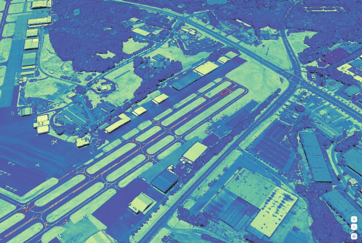
See a property in 3D
before you ever visit.
Elevation, roof pitch, tree cover, slope, and view corridors — live in your browser next to travel-time maps, demographics, and trade-area scoring. One workspace. One click.
No credit card required · Cancel anytime
Why professionals choose RadiusMapper
Accurate travel time analysis for real estate, logistics, and business planning.
Accurate travel times
Real-time traffic data and historical patterns ensure your radius calculations reflect actual driving, walking, and cycling conditions.
Multiple transport modes
Calculate reachable areas by car, on foot, or by bike. Each mode uses optimized routing for that transport type.
Export and share
Download your results as CSV or GeoJSON, embed maps on your website, or share via link with anyone.
Platform
A Complete Location Intelligence Suite
Go beyond simple radius maps. Our Premium platform gives you the tools to make data-driven location decisions.
Location Intelligence
Foot traffic, demographics, and scoring for any address. Deep-dive into any market.
Learn moreSite Selection
Compare locations side-by-side with quantified scores across dozens of criteria.
Learn moreTrade Area Analysis
Define real customer catchment areas using drive-time isochrones, not arbitrary circles.
Learn moreFleet & Logistics
Optimize routes, define service zones, and track fleet coverage in real time.
Learn moreData Library
20+ demographic, economic, and behavioral data layers. Toggle on choropleths instantly.
Learn moreCompetitor Analysis
Map competitor locations, overlap trade areas, and find whitespace before the next launch.
Learn moreExplore All Travel Modes
Each mode uses routing optimized for that specific transport type.
Built for Every Industry
See how teams across industries use travel time analysis and location intelligence.
Real Estate
Evaluate properties with commute time analysis, demographic context, and neighborhood scoring.
Retail & Restaurants
Optimize store networks with trade area mapping, cannibalization analysis, and site scoring.
Logistics & Delivery
Define service zones, optimize depot placement, and plan fleet coverage with isochrones.
Government & Urban Planning
Analyze transit accessibility, emergency coverage, and infrastructure investment impacts.
Common Questions
How do travel time radius maps work?
Our travel time calculator uses real traffic data and smart routing to show you exactly how far you can travel by car, foot, or bike in a given time. We analyze actual road networks, pedestrian paths, and cycling routes to create accurate reachable areas.
What's included in the free plan?
The free plan includes unlimited radius map calculations with driving, walking, and cycling modes. You can share maps via link and embed them on your website. Paid plans add demographic overlays, trade area analysis, competitor mapping, reporting, and API access.
What's the difference between the free calculator and Premium?
The free calculator creates single isochrone maps. Premium adds a full workspace with demographic overlays, AI-powered insights, custom trade areas, advanced reporting, and export capabilities.
Can I integrate RadiusMapper into my existing tools?
Yes. Premium plan users get full REST API access that returns GeoJSON. You can pipe data into any BI tool, GIS platform, or custom application. We also offer embeddable map components.
Can I cancel or change my plan anytime?
Absolutely. You can upgrade, downgrade, or cancel your subscription at any time from your account page. Downgrades take effect at the end of your current billing period. We also offer a 14-day money-back guarantee.
How accurate are the results?
Every polygon is computed against live road-network routing with traffic signals and real-world constraints — not straight-line distance. Demographic overlays on paid tiers render at the neighborhood level, refreshed on a regular schedule. Coverage spans 50+ countries worldwide.
Ready to start mapping?
Join thousands of professionals using RadiusMapper for smarter location decisions.