RadiusMapper
FreeDrive, walk and bike times. No sign-up.See how far you can drive, walk or bike from any address. No account needed.
Location Intelligence & Travel Time Mapping
The all-in-one platform for travel time analysis, demographic insights, trade area mapping, and site selection. Free radius calculator included.
Interactive Drive Time Map
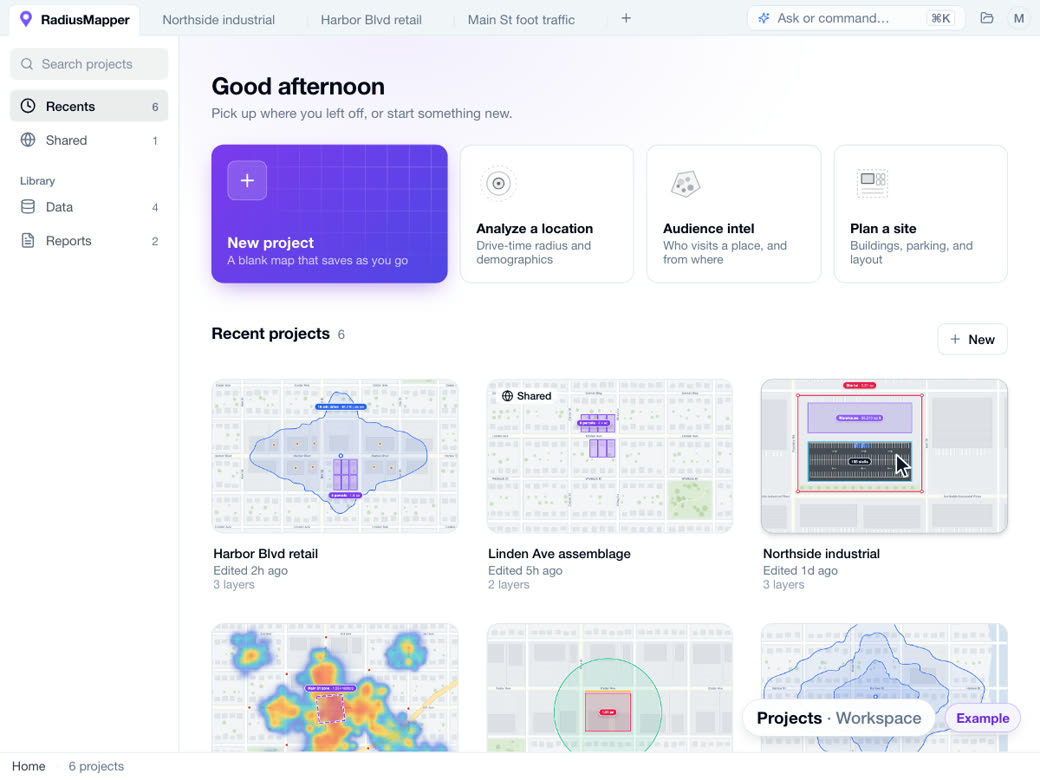
· drive, walk or bike · traced along real roadsWhen you're ready, the whole decision lives on one map.
Owners, visitors and every data layer, on the same map as your radius.
Parcels and owners
Owner, sales, loans and value on every lot, with absentee, equity and distress flags, the owner's other holdings, and loan to value worked out for you.
Visitor intel
Where a place's visitors live, when they come and where else they go. Aggregated and anonymized.
The data, already on the map
Demographics, property records, foot traffic and infrastructure in one catalog, plus any public layer you search for.
Why professionals choose RadiusMapper
Accurate travel time analysis for real estate, logistics, and business planning.
Accurate travel times
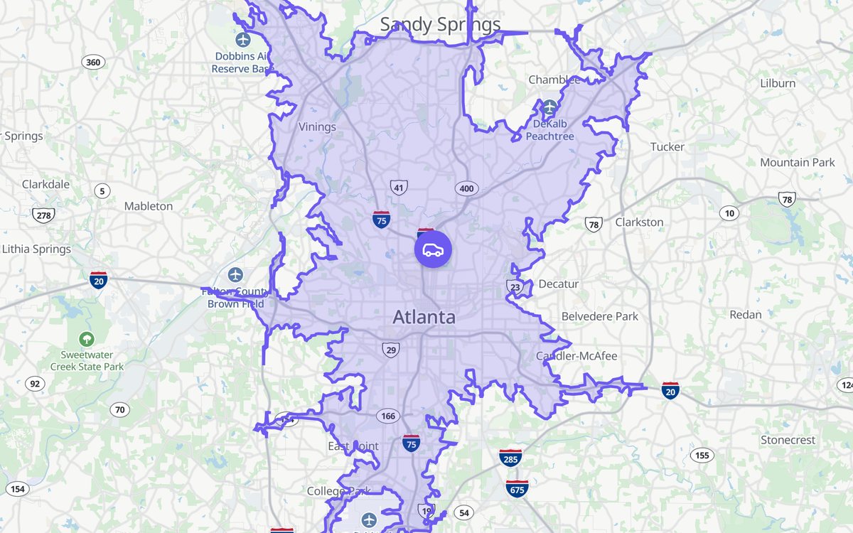
Areas follow real roads, speed limits and typical traffic, so they reflect how driving, walking and cycling actually work.
Multiple transport modes
Calculate reachable areas by car, on foot, or by bike. Each mode uses optimized routing for that transport type.
Export and share
Download your results as CSV or GeoJSON, embed maps on your website, or share via link with anyone.
From the whole country down to one lot.
Find the market, then zoom all the way to a single parcel without switching tools.
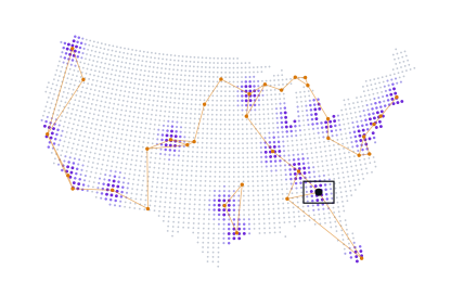
The country
Demographics, property, movement and infrastructure data for every market.
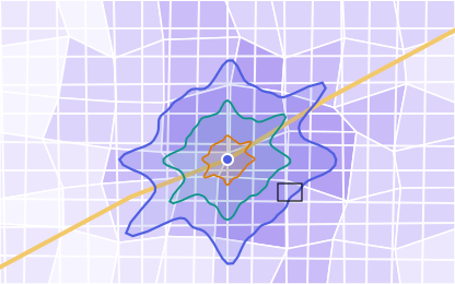 Median income by tract
The trade area
Real travel times, with the people and spending power inside.

One lot
Click any parcel for the owner, mailing address and sale history.
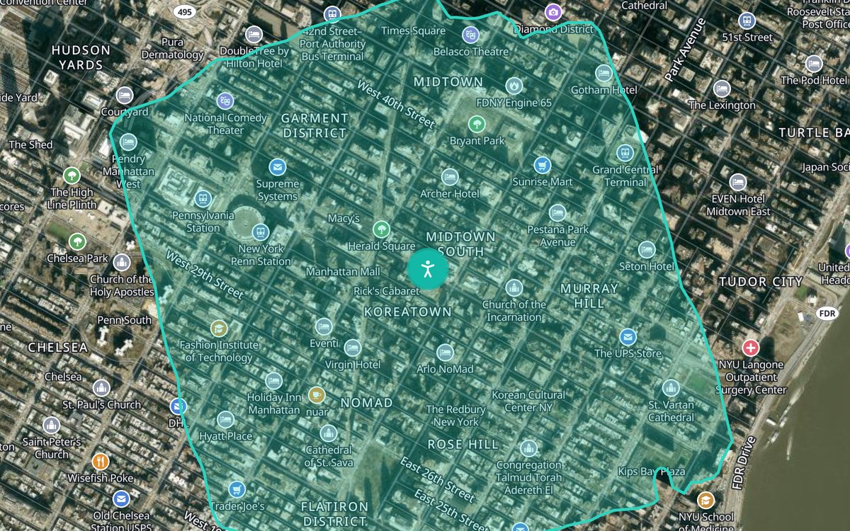
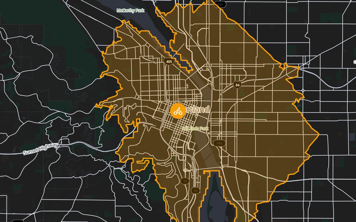
Explore All Travel Modes
Each mode uses routing optimized for that specific transport type.
Bring your own data
Drop in a file. Get a map.
Your store list, a client's shapefile, last month's permits. Drag them onto the map and they turn into layers on their own. Address columns are found for you, shapes are styled, and every row stays clickable.
- store_list.csvSpreadsheet of addresses248 pins, matched to the map
- delivery_zones.geojsonShapesA styled layer you can filter
- zoning_districts.zipShapefileColored by zone, with a legend
- bike_routes.kmlLinesRoutes traced along the streets
Also TSV, JSON and GPX tracks. No converting first.
In 3D
See a property in 3D before you ever visit.
Elevation, roof pitch, tree cover, slope, and view corridors, live in your browser next to travel-time maps, demographics, and trade-area scoring. One workspace. One click.
Act on it
Then do something about it.
See what fits on the lot, reach every owner and send a report, all from the map you started on.
Draw it. Park it.
Outline a lot, measure the frontage and drop in a parking layout with a real stall count.
Mail the owners
Pick the lots, design a postcard and every owner gets one with their name on it. Printed, mailed and tracked for you.
Send the report
Turn any zone into a clean, client-ready report with maps, people and visitors, or export the shapes for your GIS.
And everything else a site decision needs.
Data layers
Demographics, property, movement and infrastructure in one catalog.
Draw and measure
Lots, frontage and full parking layouts, stall by stall.
Direct mail
Postcards to the owners you picked, right from the map.
LiDAR and drone 3D
Walk a site in 3D, or turn drone photos into a model.
Reports
Clean write-ups for clients and committees.
Projects in tabs
Every site you're working, one click away.
Platform
A Complete Location Intelligence Suite
Go beyond simple radius maps. The full platform gives you the tools to make data-driven location decisions.
Location Intelligence
Foot traffic, demographics, and scoring for any address. Deep-dive into any market.
Site Selection
Compare locations side-by-side with quantified scores across dozens of criteria.
Trade Area Analysis
Define real customer catchment areas using drive-time isochrones, not arbitrary circles.
Fleet & Logistics
Optimize routes, define service zones, and track fleet coverage in real time.
Data Library
A catalog of demographic, property, movement and infrastructure data, plus any public layer you search for.
Competitor Analysis
Map competitor locations, overlap trade areas, and find whitespace before the next launch.
AI analyst
Ask for the site. Watch the map do the work.
Say what you need in plain words. The analyst searches parcels, measures lots, lays out parking and selects the matches on your map, so you can check every step.
"Outline the biggest vacant lot near Pine St and plan parking for it."
- lot found
- 7.2 ac
- lot found
- building outlined
- 90,950 sf
- building outlined
- stalls laid out
- 602
- stalls laid out
Worked for 9s
Selected 5 parcels, outlined the warehouse and fit 602 stalls behind a 10 ft setback.
Use cases
Built for Every Industry
See how teams across industries use travel time analysis and location intelligence.
Real Estate
Evaluate properties with commute time analysis, demographic context, and neighborhood scoring.
Retail & Restaurants
Optimize store networks with trade area mapping, cannibalization analysis, and site scoring.
Logistics & Delivery
Define service zones, optimize depot placement, and plan fleet coverage with isochrones.
Home & Field Services
Set service areas by real drive time and only promise the jobs your crews can reach.
Sales & Territories
Draw fair territories from drive time and the people inside them, then share the map with your team.
Government & Urban Planning
Analyze transit accessibility, emergency coverage, and infrastructure investment impacts.
What is RadiusMapper?
RadiusMapper is a location intelligence and travel time mapping platform. Enter any address and it draws the area you can reach by car, on foot or by bike in a set number of minutes, following real roads instead of a straight-line radius, then reports who lives inside that area.
The radius map and travel time calculator are free. The full platform adds parcel and owner data, visitor patterns, demographic and infrastructure layers, 3D site views, direct mail, reports and an API, all on the same map.
- Free radius maps
- Drive, walk or bike time from any address, traced along real roads. No account needed.
- Who lives inside
- Population, households, median income, age, housing and commute for the exact area.
- Property and owners
- Parcel boundaries with owner, mailing address, value and sale history.
- Visitor patterns
- Aggregated, anonymized visits: where people come from, when, and where else they go.
- Data layers
- Demographic, property, movement and infrastructure data, plus public map layers on search.
- Tools to act
- Measuring and parking layouts, direct mail, reports, exports and an API.
Common Questions
How do travel time radius maps work?
Our travel time calculator uses real traffic data and smart routing to show you exactly how far you can travel by car, foot, or bike in a given time. We analyze actual road networks, pedestrian paths, and cycling routes to create accurate reachable areas.
What is a drive time map?
It's everywhere you can reach from one address in a set number of minutes, traced along real roads. People also call it an isochrone or a travel time map. Unlike a mile radius, it bends around rivers, runs long down highways and stops where the roads do.
What's included in the free plan?
The free plan includes unlimited radius map calculations with driving, walking, and cycling modes. You can share maps via link and embed them on your website. Paid plans add demographic overlays, trade area analysis, competitor mapping, reporting, and API access.
What's the difference between the free calculator and Premium?
The free calculator creates single isochrone maps. Premium adds a full workspace with demographic overlays, AI-powered insights, custom trade areas, advanced reporting, and export capabilities.
Can I plot a list of addresses on a map?
Yes. Drop a CSV of addresses onto the map. The address columns are picked out for you and every row becomes a pin. Color the pins by any column, filter them, and click one for its full row.
Can I integrate RadiusMapper into my existing tools?
Yes. Premium plan users get full REST API access that returns GeoJSON. You can pipe data into any BI tool, GIS platform, or custom application. We also offer embeddable map components.
Can I cancel or change my plan anytime?
Absolutely. You can upgrade, downgrade, or cancel your subscription at any time from your account page. Plan changes take effect right away and are prorated, and cancellations take effect at the end of your billing period.
How accurate are the results?
Every polygon follows the real road network, posted speed limits and typical traffic, not straight-line distance. We don't use live traffic, so the same search always gives the same answer. Demographics on paid plans render at the neighborhood level and are refreshed on a regular schedule.
What else can the platform show?
The owner of every parcel, where a place's visitors come from, a catalog of demographic, property and infrastructure data, LiDAR in 3D, drone models, direct mail to owners, reports, and an AI analyst that searches and measures on your map.
Ready to start mapping?
Start with a free radius map. Add parcels, data and intel when you need them.