 RadiusMapper
Solutions
Start From the Decision You're Making
One map for every location decision
Picking a site, sizing a trade area, sizing up a competitor or drawing territories. Each one runs on the same map, so the work from one carries into the next.
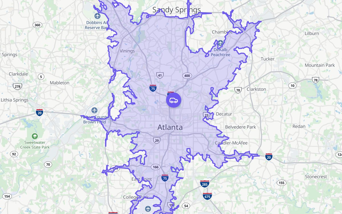 20 min drive · Atlanta
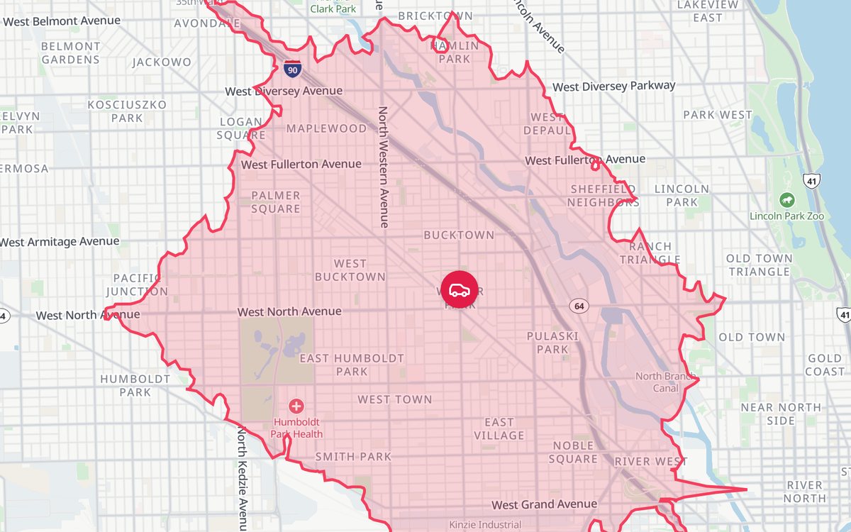 10 min drive · Chicago
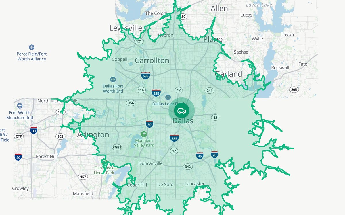 30 min drive · Dallas
Drive-time mapsSee exactly how far 10 minutes gets youParcel and owner dataEvery lot, every owner, one click awayDraw and measureAcres, frontage and parking, live as you drawBring your own dataDrop in any file and it becomes a map layerData layersProperty, people, movement and infrastructure data in one catalogVisitor intelSee who visits any place and where they come fromDirect mailPostcards and letters to the owners you selectReports and exportsClient-ready reports and files in one clickAI analystAsk in plain English and it works on your mapLiDAR in 3DPoint clouds on the map, from any angleDrone photos to 3DTurn a flight into a textured 3D modelProjects and workspaceEvery site in its own project, all of them a tab away